Khirbet Aliye, Gush Etzion - demolished homes
The many branches of the Salah extended family in Al Khadr number 3000-4000 men, women and children. (The densely populated Al-Khadr, next to Bethlehem, has 20,000 inhabitants). Some live in satellite villages: Khirbet Aliye and Abu Sud, below the Efrat settlement, or Shushkhala, west of Highway 60, beside the Neve Daniel settlement. If I understood correctly, all Al-Khadr’s lands are in Area C.
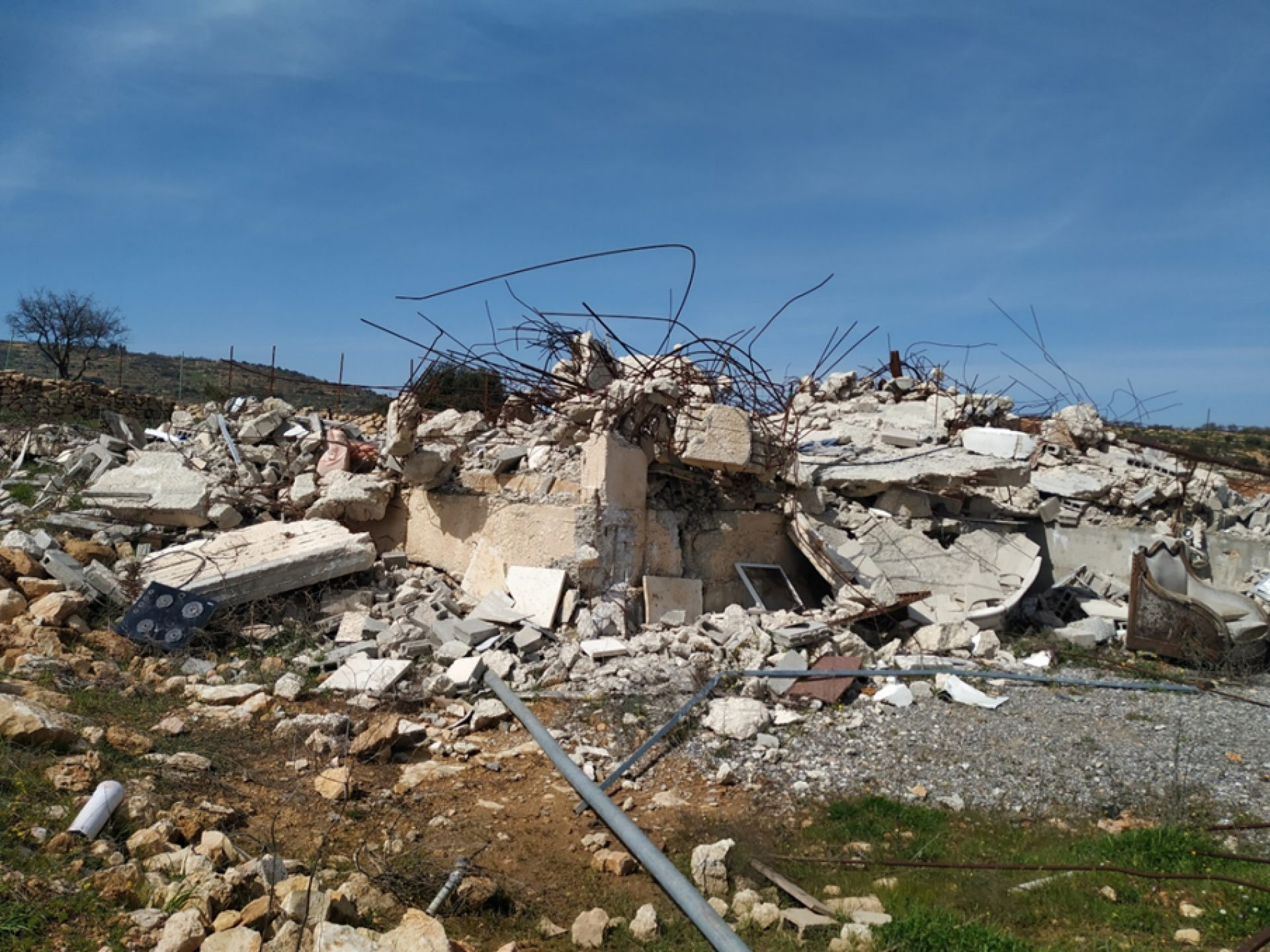
M. Salah, from Khirbet Aliye, saw the video we made about Shushkhala. He telephoned to invite us to visit Khirbet Aliye. He told us that over the past year and a half 30 homes in Khirbet Aliye have been demolished, among them four belonging to his family.
He said: “A Civil Administration jeep arrived Thursday and pasted demolition orders on the homes, to be implemented within three days. The demolitions were carried out Sunday. There’s no time to find an attorney and appeal the order over the weekend.” In addition to land owned by the family outside of the Efrat settlement, they have 40 dunams within its boundaries. Until four years ago, they were allowed to enter and work that land. Now they aren’t able to. M. wants to obtain a permit to build and open a store to sell construction materials to settlers. Quite an aspiration, quite fanciful at the moment considering no building permits at all are being granted to Palestinians, particularly not on land in Area C.
Here’s what we learned from Dror Etkes:
- Many demolition orders in the area are marked on a map. The map doesn’t indicate which have already been carried out, and which remain to be implemented.
- Many lands belonging to Palestinians had not yet be entered in the land registry records (tabu) prior to the occupation of the West Bank by Israel in 1967. The Israeli government cynically used this fact to declare them State Lands and designate them as such in blue on the map.