Imatin -
Far'ata - This village lies in the West Bank, 19 kilometers southwest of Nablus city and 23 kilometers east of the city of Qalqiliya. Its inhabitants' number 799, all members of four families from the neighboring village of Imatin. Far’ata is identified with the Biblical Far’atoun, and an archeological survey has identified findings on a timeline from the Second Iron Age until the days of the Ottoman Empire.
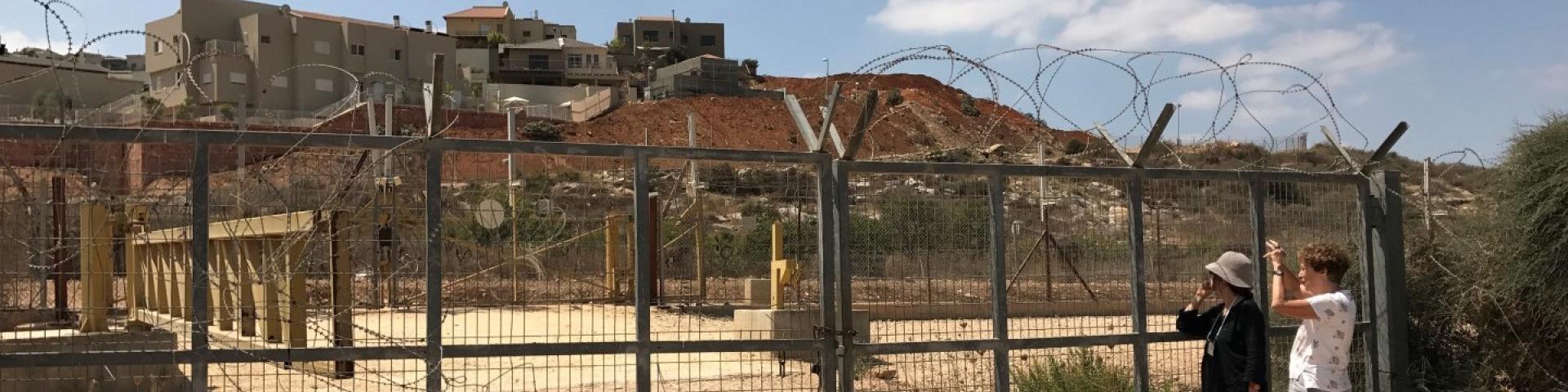
After the Oslo Accords, the built-up area of the village was categorized as Area B, but 80% of its farmlands were classified as Area C.
In 2002, settlers founded the outpost of Havat Gil’ad, which they claim is located on privately-owned land purchased by the Zar family. The Palestinians claim they own the land. The Civil Administration has issued demolition orders for all the structures in this outpost and they were declared illegal, but nothing was done about it. On February 4, 2018, the Israeli government unanimously ruled to regulate this outpost by defining it as a new settlement or by erecting a new settlement next to it.
Beginning in 2012, the Palestinian Authority ruled to include Far’ata in the local council of Imatin, a larger community.
For further information: http://vprofile.arij.org/qalqiliya/pdfs/vprofile/immatin_vp_en.pdf

![]()