Qussra
This village is located in the Nablus district, about 28 kilometers south-east of the city. Its population numbers 4,310 as of 2007 (according to the Palestinian census). After the Oslo Accords, 50% - most of the village’s built-up area – was categorized Area B, and about 70 homes as well as the rest of its land are inside Area C.
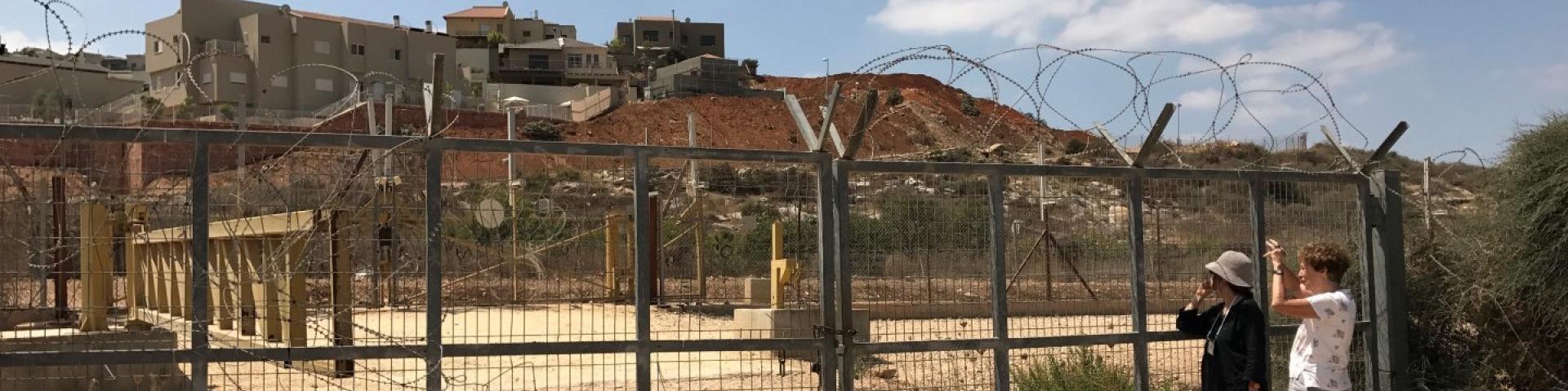
In 1983, 177 dunams of the village lands were confiscated by Israel to build a ‘Nahal’ stronghold, turned civilian in 1985 and named Migdalim settler-colony, east of the village itself. To the north-east is a gas station and a leather plant, as well as a studio producing wood ware, all of which are a branch of the settler-colony. Dozens of additional farmland were confiscated from Qussra and Jaloud in order to erect the settler-colonies Esh Qodesh and Ahiya.
“The villagers point to the settler-colonists of Esh Qodesh as the source of their problem. Qussra villagers were forbidden to tend their lands located a kilometer away from the Esh Qodesh fence, and about 20 meters from the area declared military zone. What about the ‘legitimate’ plots? Their crops are regularly destroyed by the settler-colonists. Fires break out in wheat fields, olive trees are cut down, wells are destroyed – these have all become routine events. In spite of all of this, the head of the local council sees the Israeli army as the main source. He says that the settler-colonists could not have harassed the villagers without the army backing them up…”
(From a MW report, August 3, 2015)
In 2001, the Israeli army evacuated its intelligence base “Kida”. In 2003, the settler outpost Kida was established, a quick attempt was made to evict the newcomers, but they were eventually allowed to remain.
For further information: http://vprofile.arij.org/nablus/pdfs/vprofile/Qusra_vp_en.pdf